The Westward Ho Epilogue: Acknowledgements,Reflections and Fun Facts

Epilogue

Acknowledgements

Paco and the Badger Den  leave for home
Paco and the Badger Den leave for home

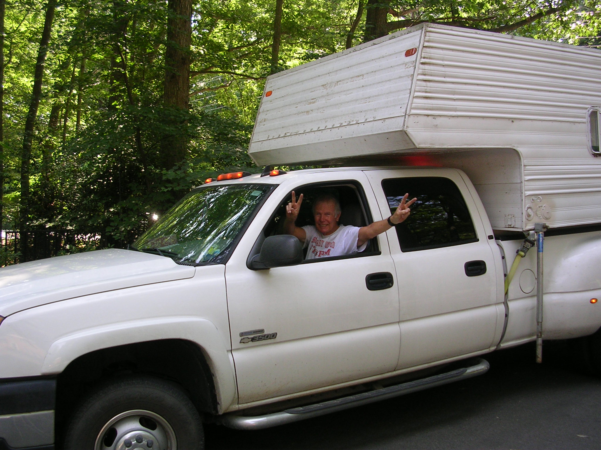
To “Paco”: Where to begin in thanking the Outlaw Badger, Frank “Paco” Bartlett, for making this trip possible? He spent months in preparation: planning our route west, buying and testing out the camper (AKA, “The Badger Den”), putting new tires on the trailer, and undertaking countless other tasks during the winter and early spring. Most importantly, it was his diligence in tracking me down several years ago that led to our reuniting after losing touch with one another sometime in the mid-80s. If he hadn’t worked so hard to find me, none of this would have been possible.

During the trip he was the ultimate road warrior clocking up to more than 600 miles some days, listening to my stories and dumb jokes with patience and humor as the hours and miles ticked by, making sure we had Coronas in the cooler for the evening arrival celebrations, and preparing really good coffee each morning. He endured my occasional snoring, which he described as “two hogs fighting over a bucket of slops.” As unfair as that might be, it’s a pretty funny image and I forgive him for his lack of respect for my snoring.

Paco’s self-deprecating, earthy stories touched off many eye-watering laughing fits on my part and lessened the monotony of the long stretches of highway we had to travel. He encouraged my blogging, sometimes with relentless persistence when I didn’t feel like writing, to ensure we had an up-to-date record of our trip. He did so even when my blogging prevented him from lying down for a rest.

He also convincingly praised my so-called cooking—an accomplished acting performance for the ages. He took countless and outstanding back-up pictures with his phone camera since mine was unreliable and researched facts and figures. The blog is better for his many contributions.

As Cicero said: “Friendship improves happiness and abates misery by the doubling of our joy and the dividing of our grief.” For all of this, thank you, Paco!


Rosa, ready for Sturgis?

To Rosa: Rosa’s consistent and enthusiastic support of this three-week odyssey and her positive response to the blog were immeasurably important to me. In fact, the blog was possible only because Rosa sent me a link to a website that walked me through the blog creation process. Without her help, the blog would not exist. And because I knew she genuinely wanted me to go on this bucket list lark, I was able do so with a light heart. She was left with care of our geriatric cat while she had to work each day, and sometimes travel, which necessitated having a cat sitter to feed Simon while she was away. So, my little excursion was not especially convenient for her, but she was always happy for me and was clearly pleased I was finally making a trip of a lifetime.

Thank you, Rosa, for all the love!

The Members of the Honey Badger Motorcycle Club: John, Ray and Steve—thanks for following us on the blog and for your continued camaraderie.

A Few Stats
• Left Reston, VA: May 17, 2014 at 8:50 a.m.; returned: June 7, 2014 at 5:30 p.m.
• Miles traveled in truck, round trip from Reston: 5,714
• Motorcycle mileage: 1,073
• States covered on the bikes: 9
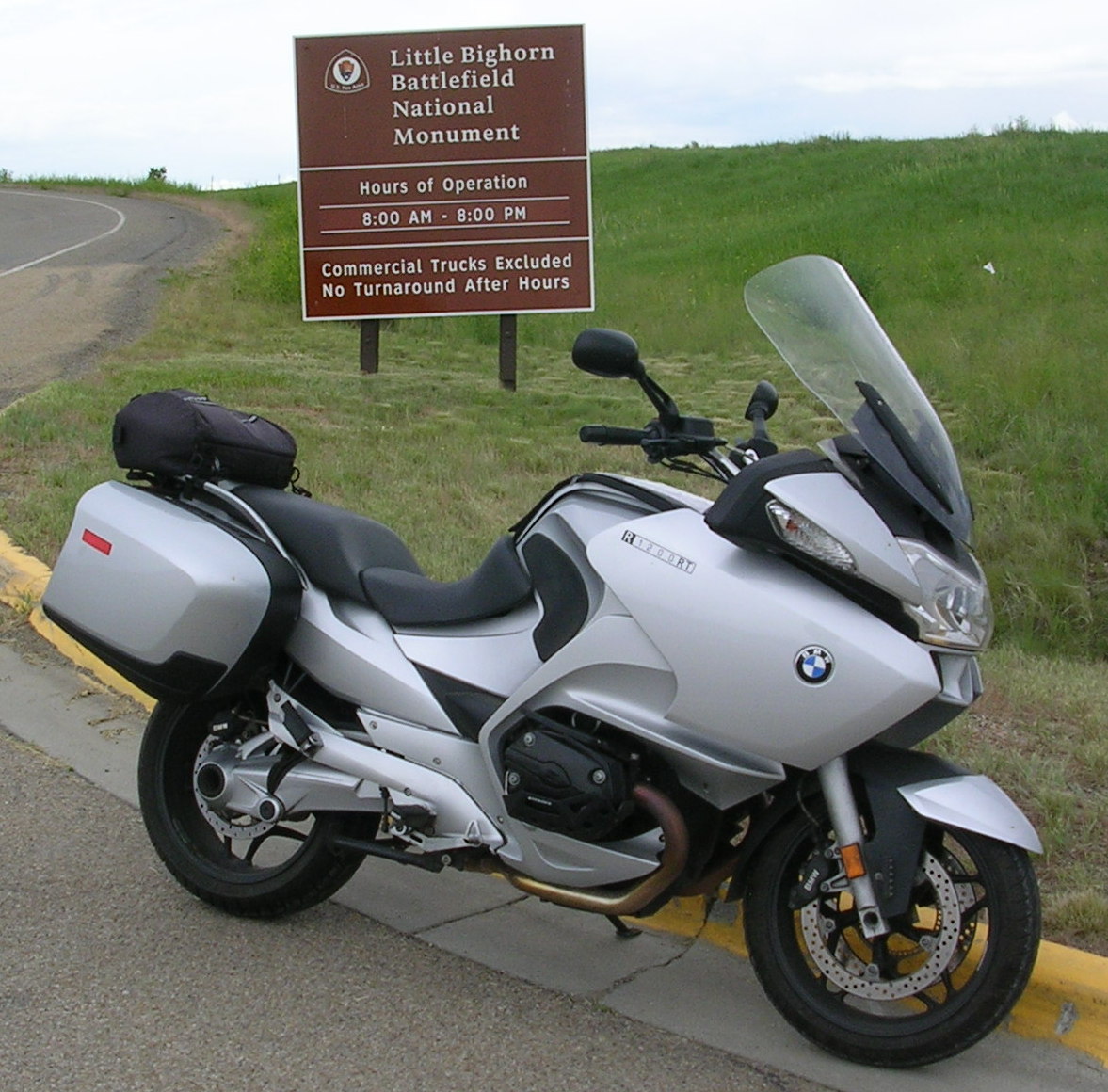
• Longest round trip ride: 247 miles (Four Corners)
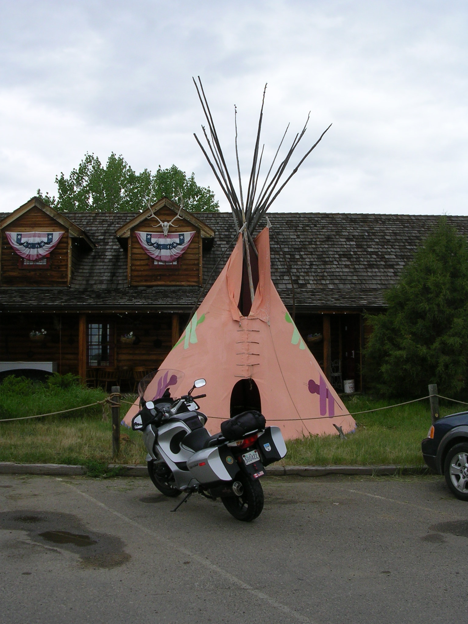
• Shortest round trip ride: 19 miles (Little Big Horn)
• Days away: 21
• Nights at Flying J Travel Plaza: 1
• Nights in RV parks: 15
• Nights in motels: 4

Things we were glad we had
• Pillows from home
• “Miner’s” lights (great for getting around in the dark RV parks or reading)
• Empty 1.1 liter plastic bottles (for nighttime emergencies)
• Extra sunglasses (my regular pair popped a lens the first day on the road)

Things we brought but didn’t need
• Tarp for shade canopy
• Extra face shield for helmet
• Multiple lanterns/lights
• Generator (we always found RV park with space and electrical hookups)

Things we should have had
• Portable electric heater (BD’s propane heater didn’t work)
• Antibiotic ointment (didn’t check supply in first aid kit)
• Extra motorcycle gloves
• Polypropylene base layers
• More rubber bands
• More kitchen trash bags
• Sandwich bags & aluminum foil
• Back-up prescription script for a hard-to-fill medication
• Roll of quarters for RV park washers and dryers

Hits and Misses

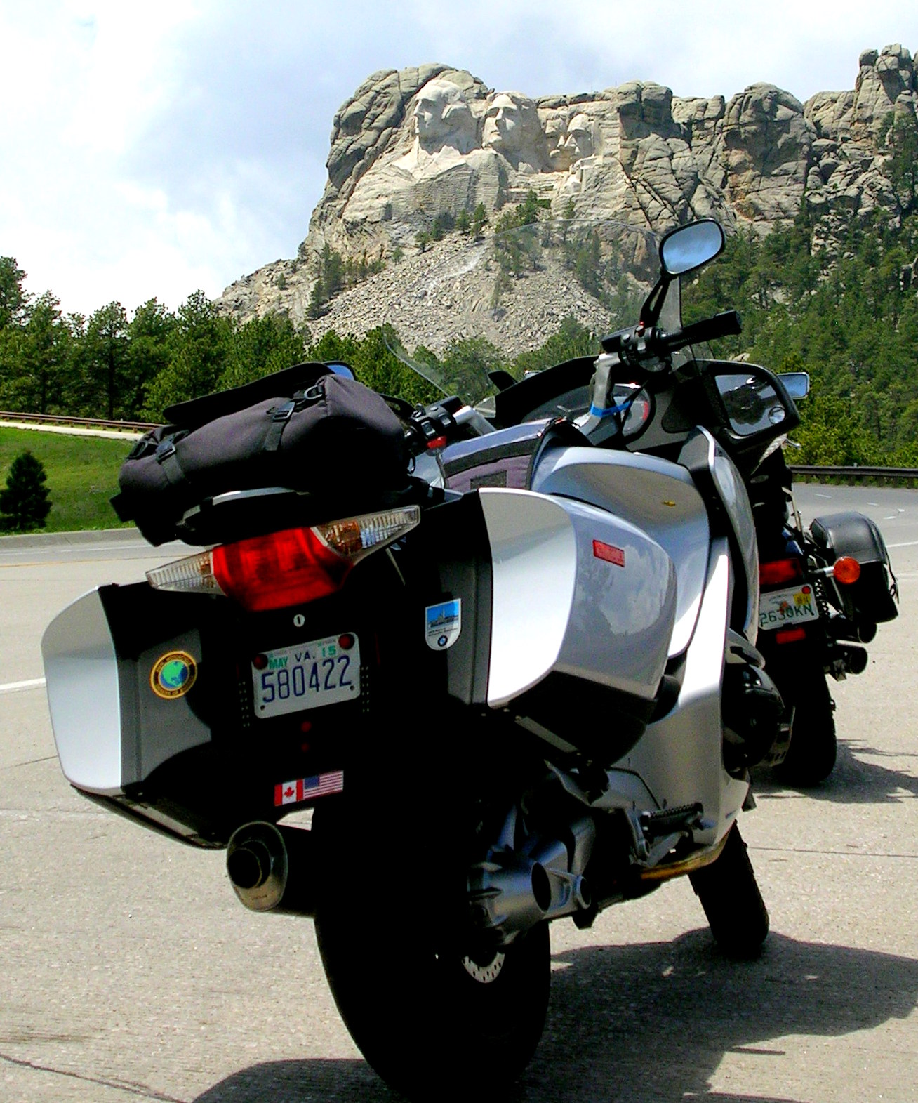
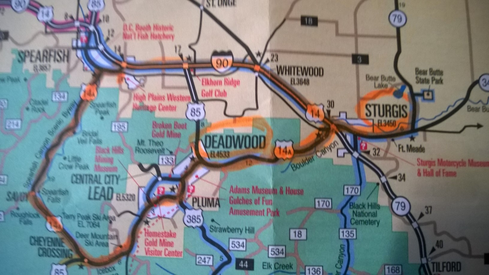
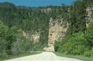
  • Big Hits: Yellowstone NP, WY; Black Hills, SD
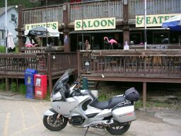
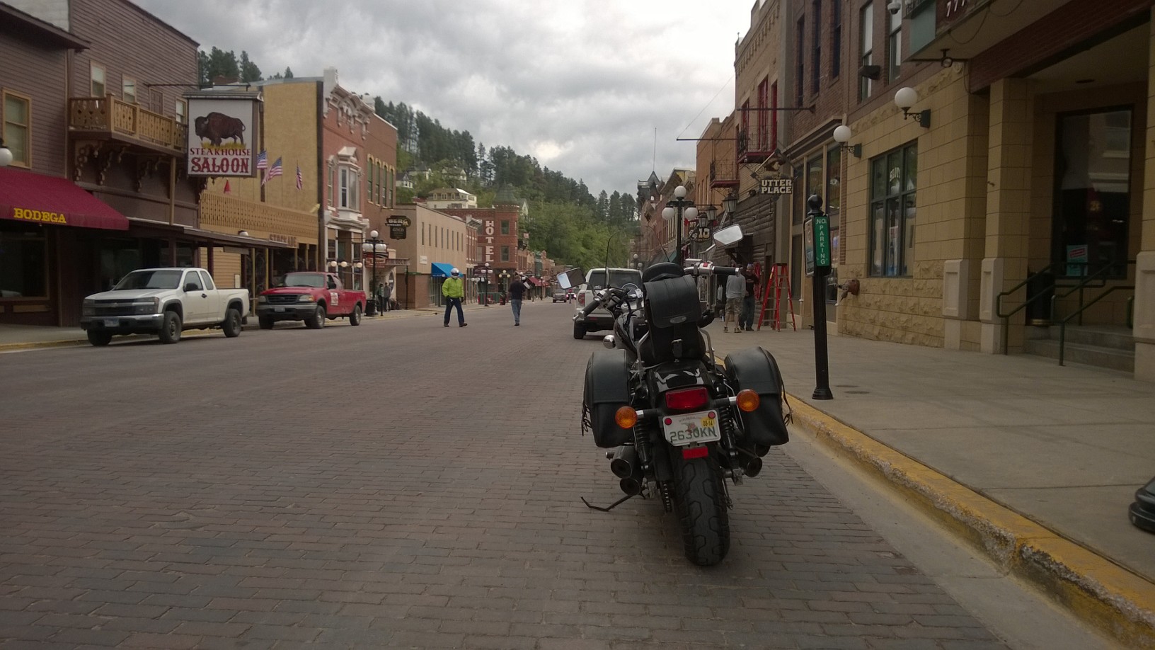
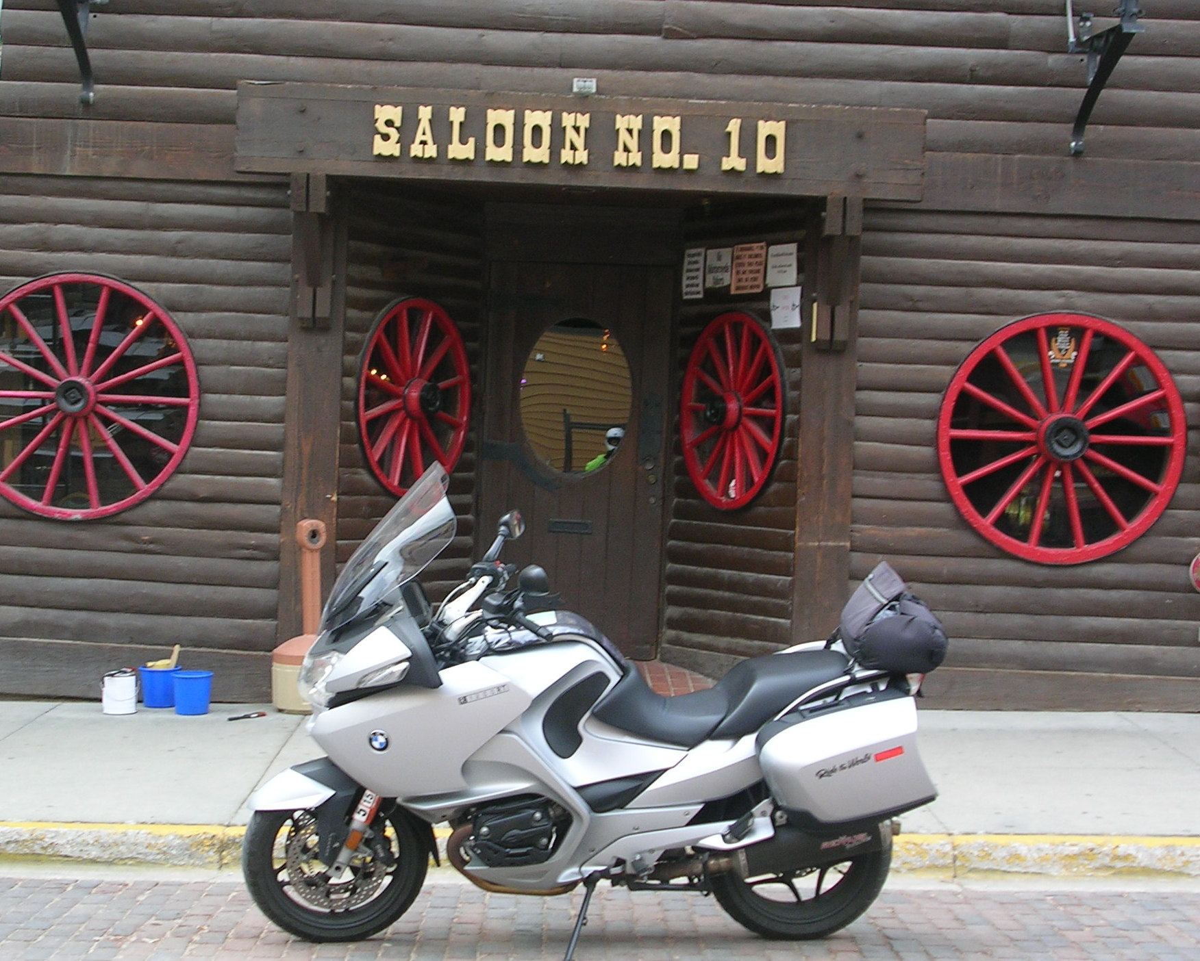
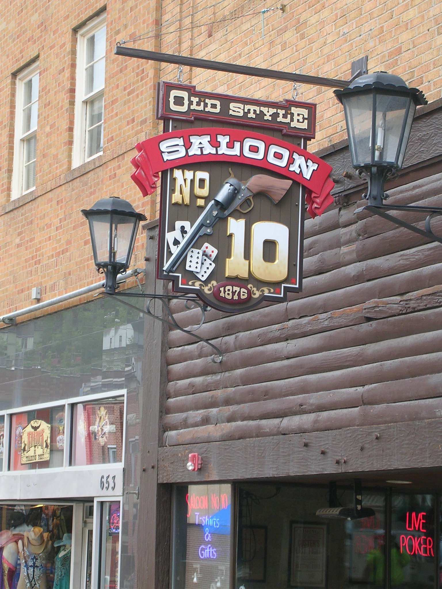
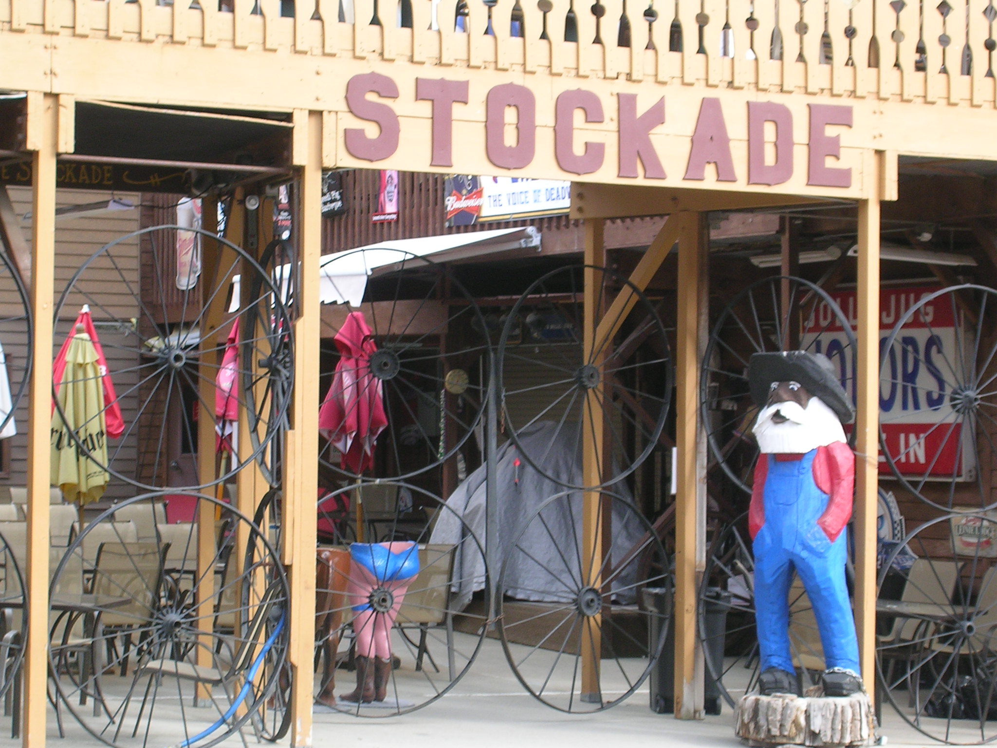
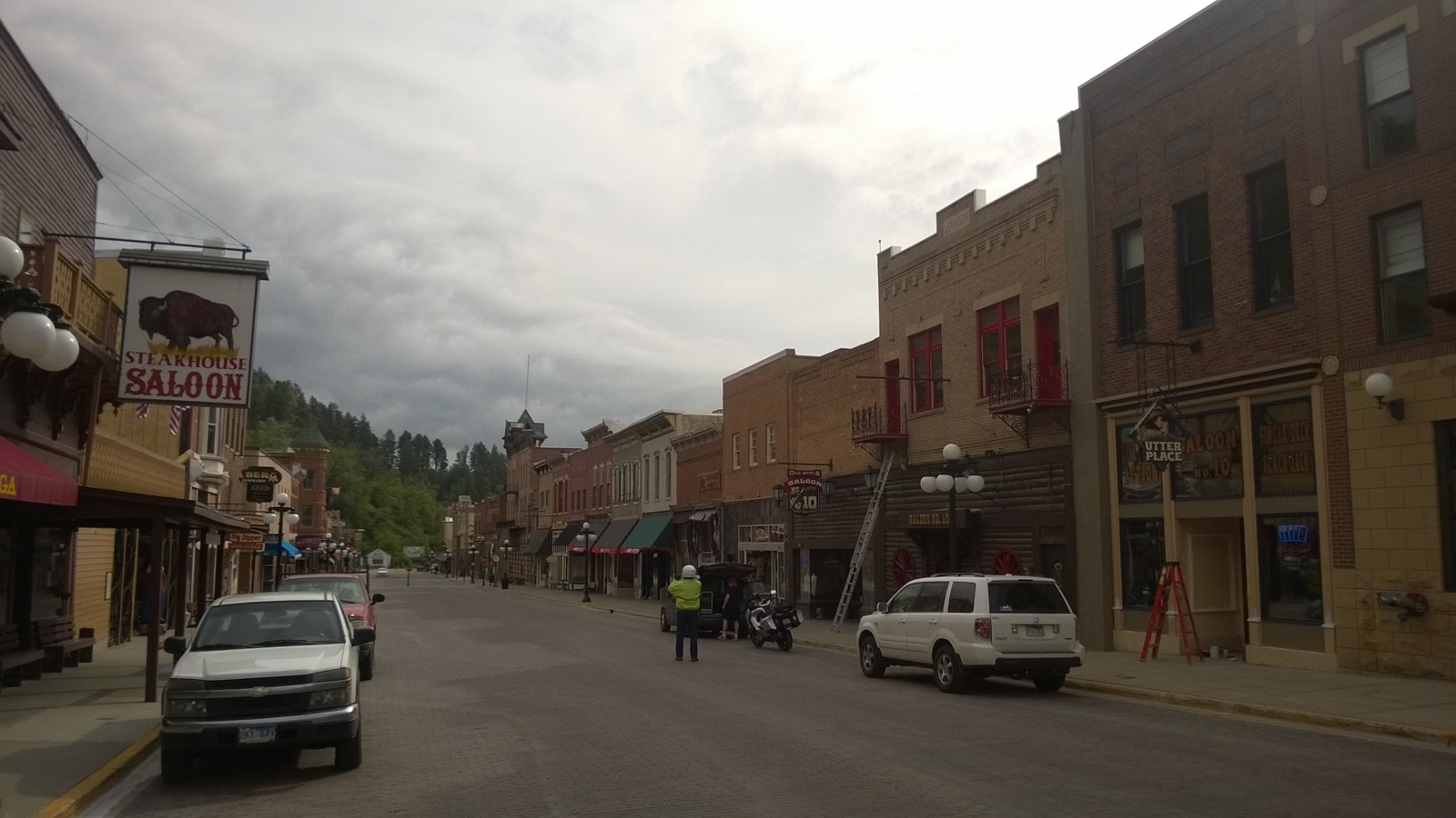
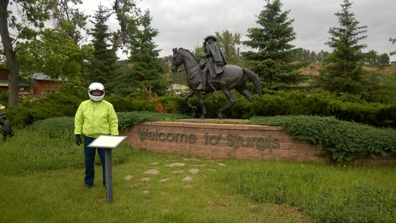
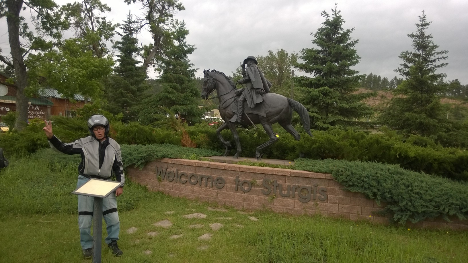
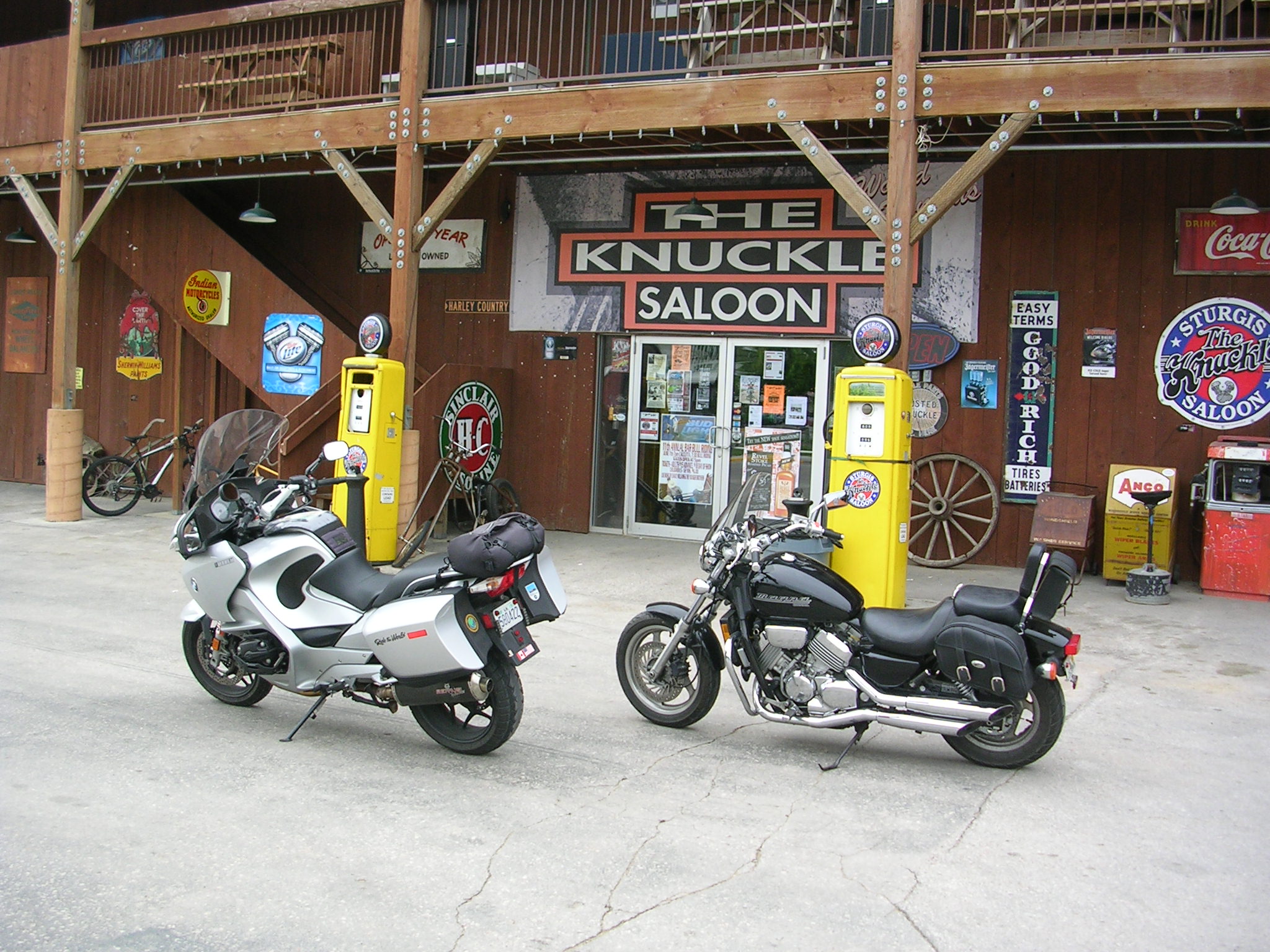
  • Big Duds: Deadwood, SD and Sturgis, SD
  • Best Value: National Parks and Monuments Senior Pass (it costs $10 for a lifetime and we estimated we saved more than $100 in entrance fees)
  • Biggest rip-off: The $10 fee to ride through a short stretch of Custer State Park in South Dakota. A blatant rip off of tourists who want to drive through  parts of the Needles Highway or Iron Mountain Road which lie within the park’s boundary.
  • Worst Traffic Jam: Salt Lake City, the Friday before Memorial Day at rush hour in the rain with thoughtless drivers regularly cutting us off
  • Worst Interstate Roads: Illinois, Indiana, West Virginia
  • Worst looking Gateway: Wheeling, West Virginia
  • Worst drivers: On I-70 south in Pennsylvania and I-270 in Maryland
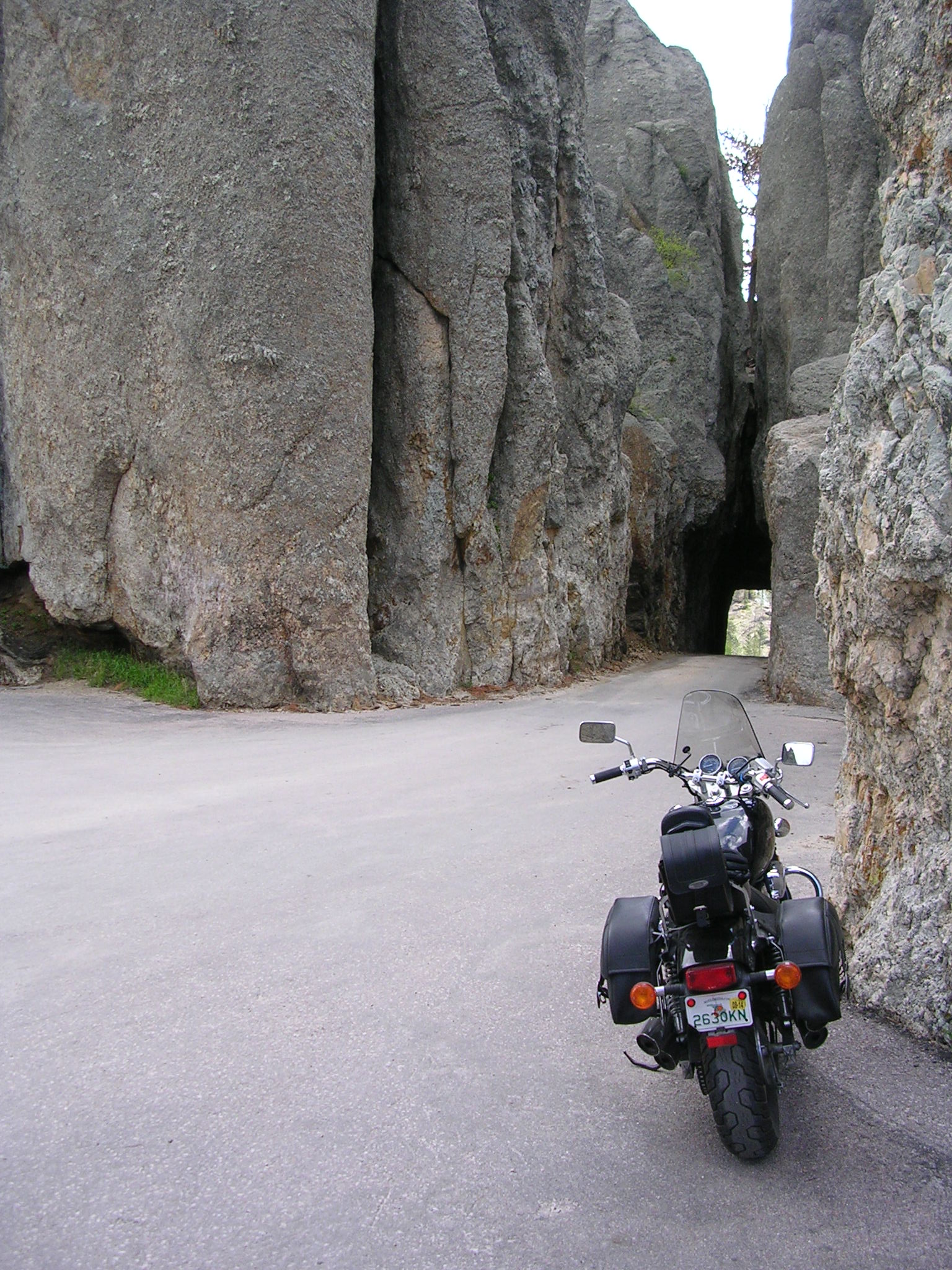
  • Most exciting motorcycle roads: Needles Highway and Iron Mt. Rd. in SD
  • Fun riding for scenery and roads: Lower Loop, Yellowstone NP, WY
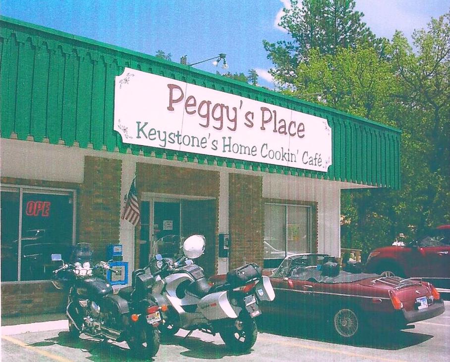
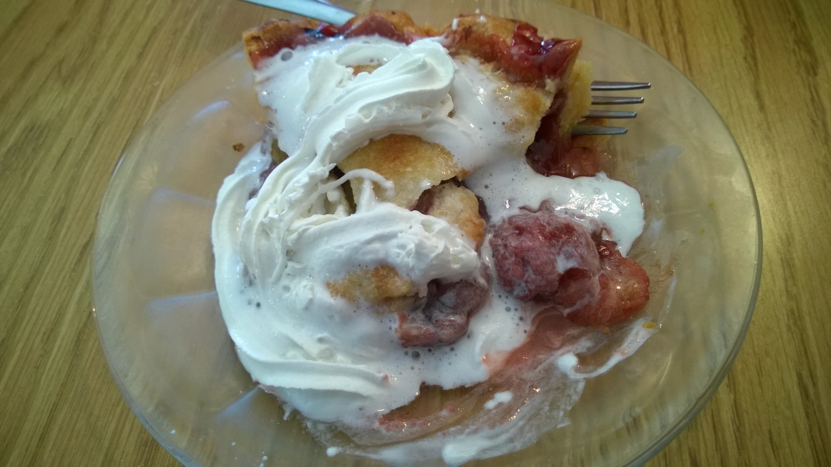
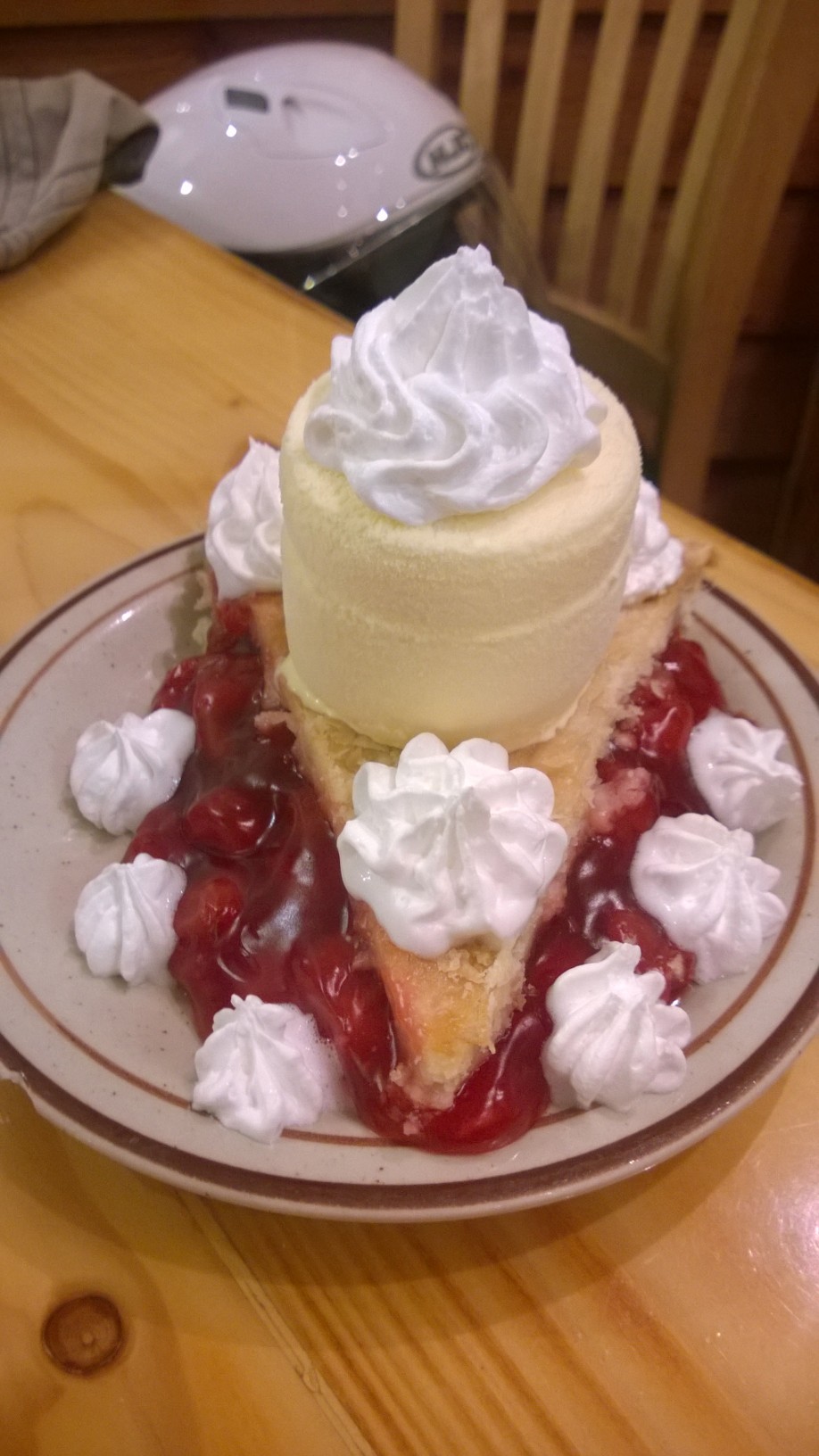
  • Best pie: Strawberry-Rhubarb, Peggy’s Place, Keystone, SD
  • Dumb Tourist Award: Girl who leaned out the window of a car to pet a bison

Answers to Your Burning Questions

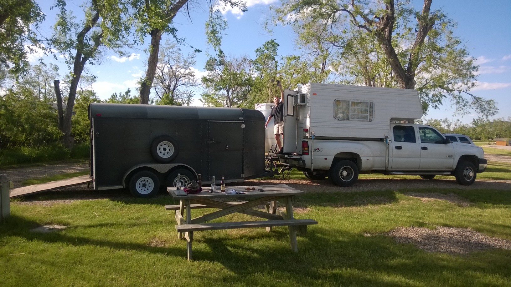
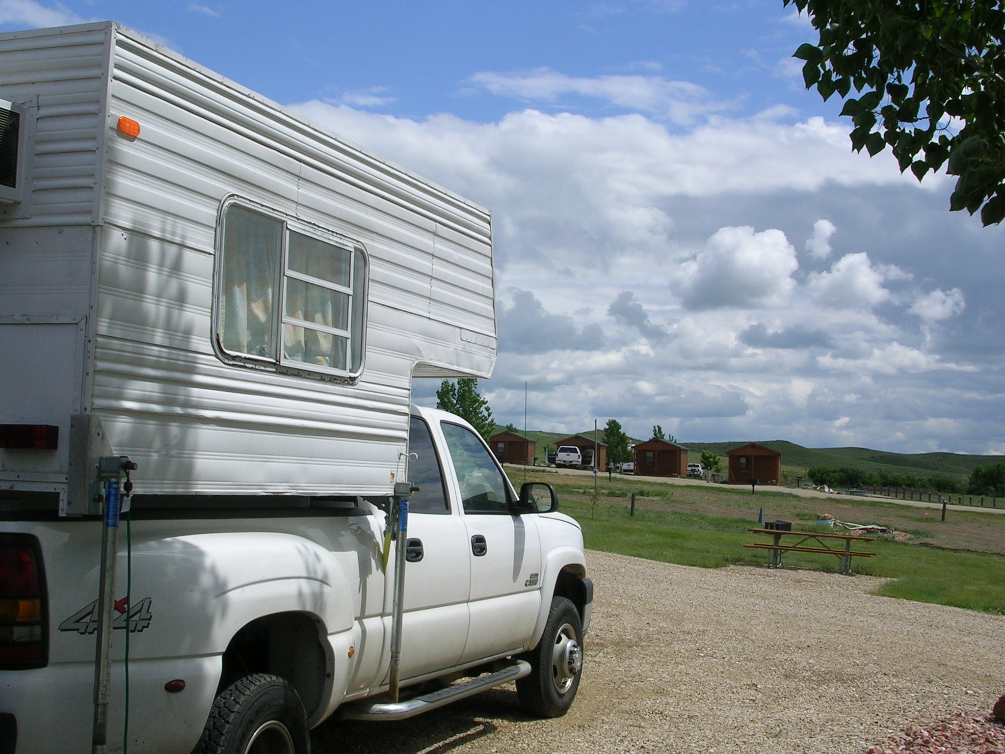
About the Badger Den (BD):
• How big  is it? Approximately 6.5 ft. wide and 9 ft. long
• How many people does it sleep ? Two adults comfortably
• Did it leak during rain storms? No
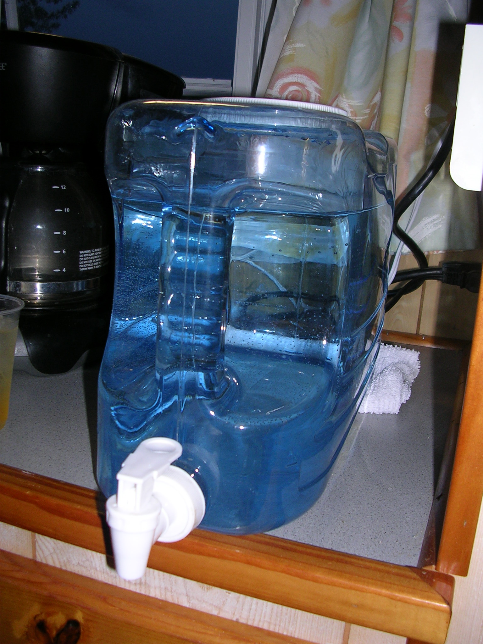
• Is there a bathroom? No
• Is there running water? No. We used a jug to hold water

Badger Water Supply
Badger Water Supply

• What appliances are in it? A propane stove, a refrigerator, a microwave, and an air conditioner. The fridge, microwave and A/C operate when connected to a 30 amp electrical service. The stove operates off a propane tank connected from the outside of the BD.
Food and Drink:
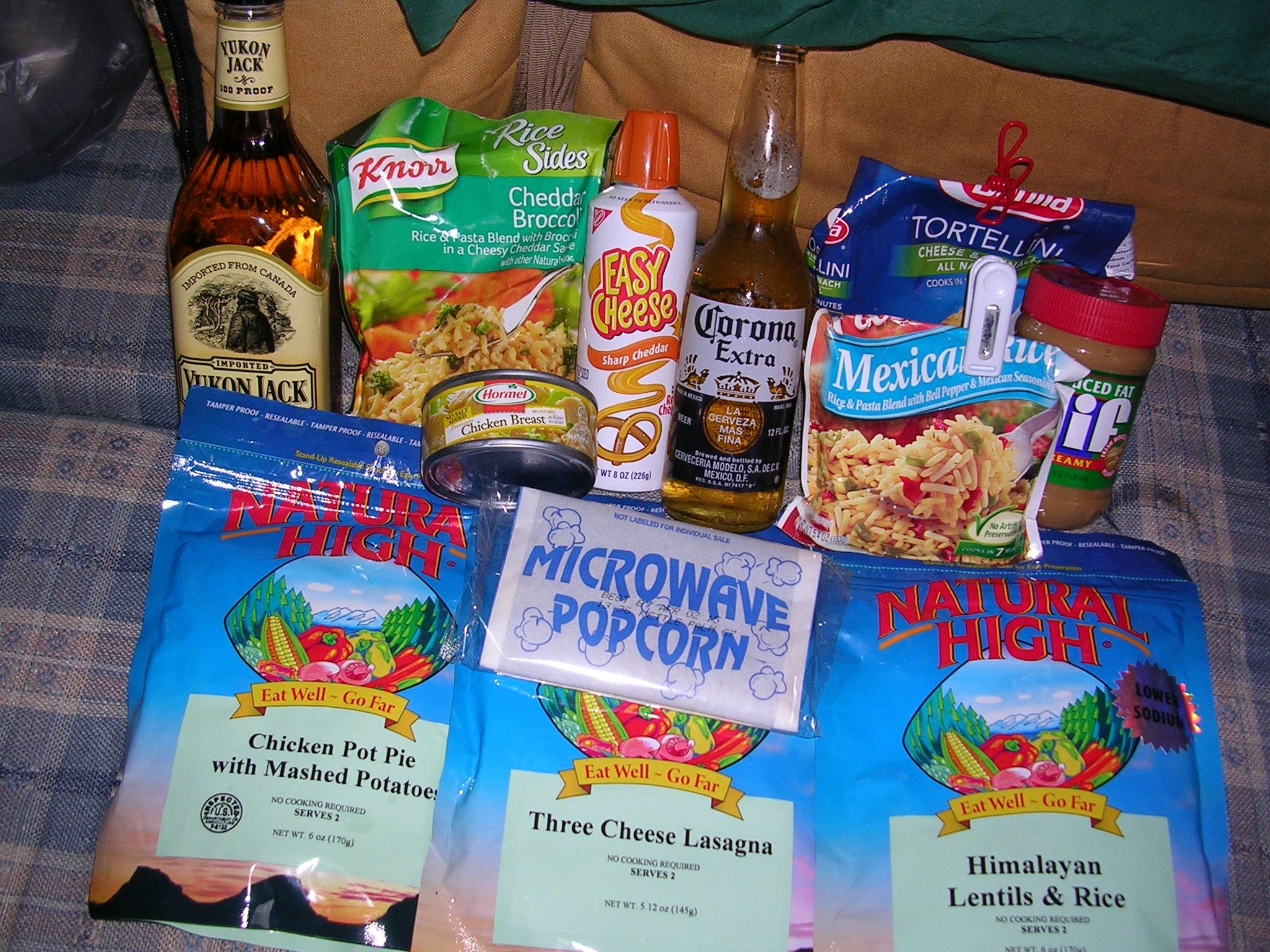
• What do the Badgers eat?
Typical Badger food shown below.

Badger Food Supplies

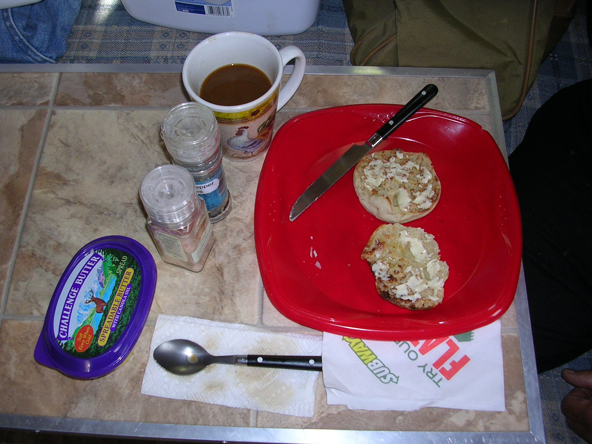
–Breakfast: English muffins and coffee

Typical Badger Breakfast

–Lunch: Usually granola bars; we ate lunch out only 3 times
–Dinner: One-pot meals; sometimes freeze-dried camping meals, other times pasta/rice packets prepared in hot water along with canned vegetables, canned chicken or fish added in; occasionally we got Subway subs or carryout for dinner; we ate out once at a Golden Corral in Amarillo, TX, which was a BIG mistake, and once at a Denny’s, not so bad.
• What beer do the Badgers drink? Corona
• What’s the Badgers’ favorite hors d’oeuvre? “Easy Cheese” squirted on rice crackers
• What’s the Badgers’ favorite after dinner drink? Yukon Jack

What kind of computer set-up was used to write the blog?

A big goofy arrangement was required. See photo below.

Computer Set-up in the Badger Den
Computer Set-up in  Badger Den

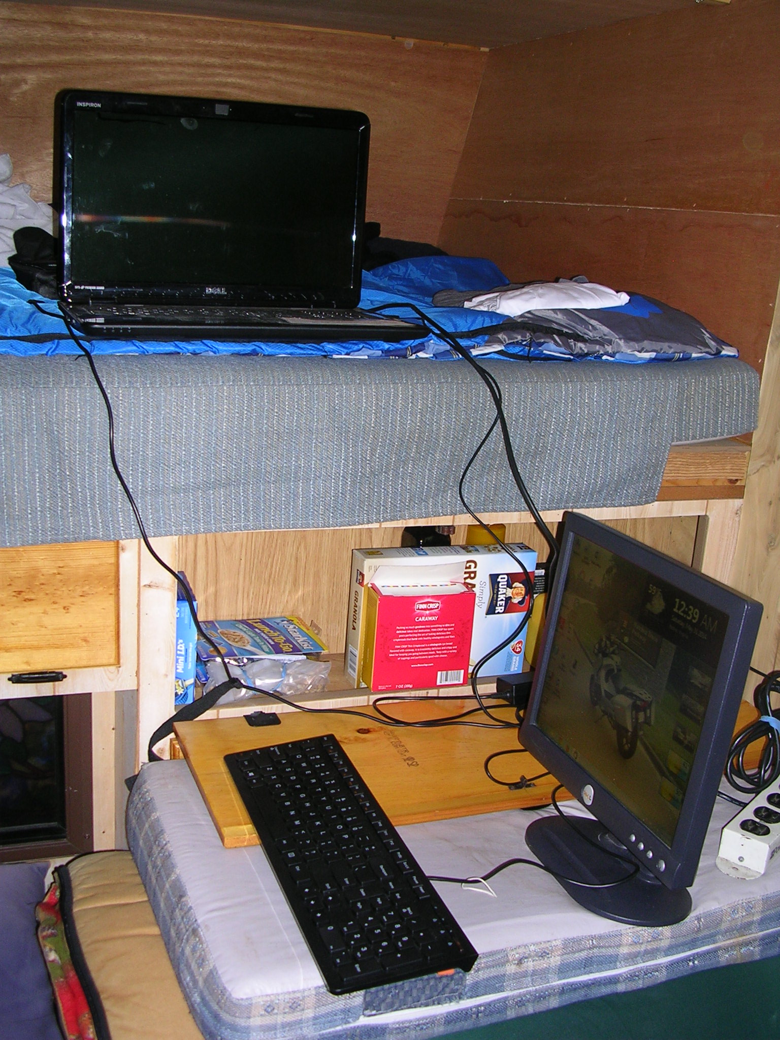
Just before the trip, the screen on my Dell laptop went haywire. After consulting several PC experts I was told there was no fix. Rather than rush to replace it and possibly lose documents and pictures already stored on it, I opted to bring an old monitor and borrowed a key board from my sister, Barbara. All the components had to be connected and plugged in and arranged in the small space available in the Badger Den, which happened to be where Paco slept. It was a crazy arrangement but it worked.

(Message to Dell: Thanks for making a piece of crap which became a hi-tech paperweight in less than five years. There won’t be another Dell in my laptop future.)

Next Trip

We’re working on a plan. More on that  in a future blog.

Trail’s End: Mt. Rushmore and the Crazy Horse Memorial

Hill City, SD

June 4, 2014

Route Map for Ride to Mt. Rushmore and Crazy Horse--June 4, 2014
Route Map: Ride to Mt. Rushmore & Crazy Horse Memorial–June 4, 2014


The giant faces of four presidents appeared in front of us, framed by the rectangular opening of the small tunnel we had just ridden through.  However, there was no place to safely pull over to capture a shot of this startling view of Mt. Rushmore from the heights of Iron Mountain Road. But not far from there, we found a genuine overlook with parking where we could snap a photo through the forest.

Mt. Rushmore as seen from the Iron Mt. Rd.

It seemed that we were getting close to our goal, having ridden about 30 miles in a loop starting from Hill City and going south on the Needles Highway* then aiming north east to hit the Iron Mountain Road to ride north to get to Mt. Rushmore. It seemed we were getting close but we really weren’t. We had to navigate multiple switchbacks over and over while playing the game of up-the-mountain, down-the-mountain, and repeat.

(*Needles Highway gets its name from the unusual granite spires that rise up in profusion along the route.)
We didn’t plan it this way, but both the Needles Highway and Iron Mountain Road took the award for the most gut churning curves on our entire trip. I can’t even call them twisties—how about corkscrews, pigtails, double hairpins, and uphill flips? There were 25 mph curves, then 20, 15, 10 and a couple of 5 mphs. Narrow, single lane rock tunnels, seven of them,  with one only 8 ft. 4 in. wide, had to be entered without knowing what was on the other side. We were wrung out by the time we rode up the steep access road to Mt. Rushmore.

Spires on the Needles Hwy.
Parked in the rocks on the Needles Hwy.
Narrow Tunnel on the Needles Hwy.

We chose not to ride all the way to the visitor center and opted for photos from the access road. Right after we got our pictures, the sky became overcast and we knew that severe thunder storms were expected later in the day. We wanted some lunch and also were eager to fit in a visit to the Crazy Horse Memorial some 17 miles away. We got the evidence we needed that our bikes had reached Mt. Rushmore with its images of Washington, Jefferson, Teddy Roosevelt and Abraham Lincoln carved into the mountain side.  Pictures taken, we almost flew into Keystone.


The Badger Bikes at Mt. Rushmore


There we had a satisfying lunch at Peggy’s Place that included especially delicious homemade strawberry rhubarb pie for dessert.

Peggy's Place
Peggy’s Place


Stawberry-Rhubarb Pie at Peggy's Place
Stawberry-Rhubarb Pie at Peggy’s Place


We next made our way slowly through Keystone.  This is another tourist spot and pedestrians seem to pop out of nowhere so we rode with great caution. At the edge of town, we turned on to Old Hill City Road. This was a delight after being scared witless by the mountain roads. We relished the 10 miles of manageable curves through meadows and pastures. As we followed the road, we crossed the same railroad tracks several times—this is a line that carries tourists on an old 1880s train from Hill City to Keystone. Coming around one curve while I was in the lead, I heard the unexpected blast of a train whistle and came to a very quick stop as the vintage steam engine chugged through the crossing. As we waited, the tourists on the train greeted us, especially the kids who smiled and waved enthusiastically at the two motorcyclists waiting at the crossing. We, of course, returned their waves with great fanfare.

Hill City to Keystone 1880s Train


Once in Hill City we rode the seven miles north to the Crazy Horse Memorial. When completed, the Crazy Horse Memorial will be the largest art project in the world, 563 ft. high, taller than the 555 foot Washington Monument, and 641 ft. long with a 219 foot horse’s head. In the making since 1948 and financed with only private donations, just the face of Crazy Horse has been finished. Tours can be taken to the work site but the visitor’s center has an observation deck for viewing the work-in-progress in the distance as well as an outstanding Indian Museum of North America plus a restaurant and gift shop.

Crazy Horse Memorial--Seen from the Observation Deck
Crazy Horse Memorial–Seen from the Observation Deck


Crazy Horse Memorial Scale Model

(A little about Crazy Horse: literally “His-Horse-Is-Crazy” was born sometime in 1840 and was killed September 5, 1877). He was a war leader of the Oglala Lakota. He took up arms against the U.S. Federal government to fight against encroachments on the territories and way of life of the Lakota people, including leading a war party to victory at the Battle of the Little Bighorn in June 1876. He refused to sign any treaties with the whites and never submitted to living on a reservation.)

Native American Dancers at Crazy Horse Memorial

We watched an ethereal performance of Native American dancers, toured the museum with its intriguing and priceless artifacts and finally pulled ourselves away to return to the RV Park. Ominous black clouds drifted lower and lower as we raced down the hill hoping to outrun the rain that started spattering on us. We made it back, got the bikes in the trailer and ourselves in the Badger Den before the full force of the thunder storm hit us complete with pelting chunks of hail. It was our last day and the Moto Gods had smiled upon us. We ridden a mere 62 miles but it was packed with more thrilling riding than we could have imagined.

And now….Westward Ho Goes East.

Our Westward Ho motorcycle adventure is over; tomorrow the Badger Den will begins its 1,636 mile journey to Virginia.

Thanks to all our readers for your comments and your positive remarks about our blog. An Epilogue blog entry will be made after we return home that will summarize highlights of our trip, lessons learned, and favorite rides.

Ride safe,

Paco (Frank) and Rufus (John)


Black Hills: Devil’s Tower, Spearfish Canyon, Deadwood and Sturgis


The Black Hills
The Black Hills

June 2-3, 2014: The Black Hills

The term Black Hills is a direct translation from the Lakota words,  Paha Sapa. From a distance, the dark green trees, mostly  Ponderosa pine and Black Hills spruce,  make the hills appear black.

Traveling east toward the Black Hills from Wyoming, we made a  drive-by stop at Devil’s Tower a majestic natural formation that rises 867 ft. from its base. It’s 1,267 ft. above the river and 5,112 ft. above sea level.

Devil's Tower
Devil’s Tower

The Tower was formed about 50 million years ago when molten magma was forced into the sedimentary rocks above it. Then it cooled underground and contracted and fractured into columns. Over time (millions of years, actually) erosion of the sedimentary rock exposed Devil’s tower. The American Indian name for the Tower is Bear Lodge. Col. Richard Dodge named it Devil’s Tower in 1875 when he led an expedition to to confirm reports of gold in the Black Hills.

From the Tower we looped south then north toward Spearfish, S.D. for our stay at the Chris Camp RV Park. Our host, Lanna Christensen was welcoming and very helpful. Going over maps of the area, she plotted three great motorcycle loops that we could take and offered to answer any questions we might have about the roads and the sights.

The Badger Den at Chris Camp in Spearfish

The next day we rode down the Spearfish Canyon Scenic Byway as it curlicued past the shale, sandstone and limestone canyon walls with the  sparkling Spearfish Creek burbling along side. Aspen, birch and oak trees as well as the typical firs line each side of the road. Most curves could be handled at 30 mph or faster but there was no need to rush. Though it was threatening rain and very overcast, we took our time to soak in the scenery.

Route Map for Ride, June 2, 2014
Black Hill National Forest Sign
Spearfish Canyon
Spearfish Canyon


After about 30 minutes we reached the end of the by-way at the Cheyenne Crossing  and began angling north towards Deadwood, the old gold rush town.

Just before Deadwood we stopped at a well-known biker bar, ‘Lewie’s Saloon and Eatery,” for a photo op but it was too early for lunch  or a chance to get a glimpse at the 38 televisions installed at Lewie’s so every NFL football game can be seen on any Sunday.

Lewie's Saloon near Lead, SD
Lewie’s Saloon & Eatery near Lead, SD

Lewie might want to invest in fixing his rutted, potholed parking lot that’s more dirt than hard top next time he has a little disposable income. It was  a butt-clenching moment just trying to get the picture.

Deadwood was the next stop and it was dead. Early morning in a tourist trap during the week equals empty streets but a chance to have the run of main street to snap a few memories.

Main Street in Deadwood

The Number 10 Saloon in Deadwood is reputed to be the place where Wild Bill Hickock was shot. While the old gold rush town has preserved many of its old, historic buildings, it seemed to us to have that crass “tourist destination” feel.

Number 10 Saloon exterior
Number 10 Saloon sign
Deadwood Tourist Trap
Another view of Main Street in Deadwood

We had lots of time to spare after our quick pic visit to Deadwood so off we rode to Sturgis to see what it would be like before the massive biker rally hits town in August. Well, we had to see it to say we were there, but like Deadwood, it was too early for the bars and honky-tonks to be open and it was just as dead. Sturgis, by the way, is named for Gen. Samuel D. Sturgis, who served in the Civil War and fought in the Indian Wars.

Welcome to Sturgis
Welcome to Sturgis
Welcome to Sturgis, Paco
Knucklehead Saloon, Sturgis, SD
Knuckle Saloon, Sturgis, SD

We got a few photo memories and had breakfast in a grocery store and decided to return to the RV park to plan our next move: Rushmore and the Crazy Horse Memorial.


Breakfast at Lynne's Dakotamart
Breakfast at Lynne’s Dakotamart

Little Bighorn Battlefield National Monument, Crow Tribe Territory

Entrance to Little Bighorn Battlefield

Near Garryowen*, Montana, June 1, 2014

(*Garry Owen was an Irish tune that the 7th Cavalry used a s a marching song and now the name of the “town” consisting of a memorial, a museum, general store, post office and gas station)


The day began with low clouds, chilly temperatures, and gray skies.  The weather seemed appropriate for a visit to a sad, lonely hilltop, the scene of the 7th Cavalry’s doomed efforts to follow orders to force several tribes on to a reservation. The Lakota, Cheyenne, and Arapaho were steadfast in their resistance to  being ejected from their sacred lands and any attempts to end to their nomadic way of life. Although they won the battle, they lost everything a year later.

Monument to the 7th Cavalry--Mass Burial Site
Monument to the 7th Cavalry–Mass Burial Site

It’s not my intention to try to provide a history lesson about what happened at Little Bighorn on June 25-26,  1876, the year of the United States’ Centennial. The two leaders of note were George Armstrong Custer and Sitting Bull. Anyone interested in the details of the battle and the reasons why it happened can find a wealth of information on the internet. One web site that provides the Native American perspective is:  www.warpath2peacepipes.com/the-indian-wars/battle-of-bighorn.htm

Custer
Custer
Sitting Bull
Sitting Bull

Since this was a very brief motorcycles ride (19 miles round trip on laser straight roads from the RV park to the battlefield)  there’s nothing to relate of interest about the ride to the site.

Below, I’ve inserted some pictures from our visit to give you an idea of what we found at “Last Stand Hill.”

"Peace Through Unity," American Indian Memorial Honoring Tribes that Fought in the Battle
“Peace Through Unity,” American Indian Memorial Honoring Tribes that Fought in the Battle
Military Cemetery at LBNM
Military Cemetery at LBBNM


Native American Warrior Marker


Black Elk's Mesage
Black Elk’s Message

The above saying is on the side of the visitor’s center.


Warrior Chiefs
Warrior Chiefs

Because we had extra time today, we shopped for gifts and indulged in a real lunch at the Custer Battlefield Trading Post & Cafe near the entrance to the Battlefield.

Beemer and Teepee

Above: My Beemer outside the Custer Battlefield Trading Post & Cafe

The food was excellent and our server, Danielle, was efficient and friendly and encouraged us to try the homemade pies. It was a tough decision but we rose to the challenge. Her creation of cherry pie with ice cream and whipped cream was a masterpiece and Paco ate every crumb.


Paco"s Dessert
Paco”s Dessert
Danielle, our server

After a relaxing lunch, we took a different route back to the RV park so we could detour to Garryowen where there is a tomb of an unknown soldier killed in the first engagement between U.S. troops and the Sioux prior to the battle at the Little Big Horn. This is the only other tomb of an unknown solider in the country, the other, of course, is the one at Arlington National Cemetery.


Unknown Soldier Memorial in Garryowen, MT


With the sun finally breaking through and cheering us up, we started back to the RV park but first Paco wanted a photo opportunity in front of the “Floating Jesus” sign on the corner of Reno Creek Rd.

Paco & Floating Jesus Sign

We then carefully rode along the gravel road up to our spot in the park and landed safely  at the Badger Den to plan our next destination: The Black Hills of South Dakota, Mt. Rushmore, and the Crazy Horse memorial.

Badger Den & Big Sky Country